 vesseltracker.com
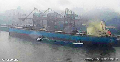
 XIN TONG
Current Status
Where is the vessel?
XIN TONG is currently in 144 nm NW of Bolinao, based on AIS data received about 2h ago.
Latest AIS update:
Current position: 17.77163° N, 117.84466° E (144 nm NW of Bolinao)
Average speed (last 7 days): Loading…
Average speed (last 30 days): Loading…
Vessel profile: XIN TONG is a Bulk Carrier with dimensions m x m.
This page combines live AIS, route history, probable destination signals, nearby traffic, and port activity for practical vessel monitoring.
The current position of vessel XIN TONG is 17.77163 lat / 117.84466 lng. Updated: 2026-03-25 13:57:32 UTCNearest reference points:
- 138 nm NW of Bolinao
- 22 nm W of Salomague
- 148 nm SE of Xijiang
Currently sailing under the flag of Liberia ![]()
Details:
Live Vessel XIN TONG Analytics (details, animations, etc.)
Recent AIS points (UTC):
2026-03-25 07:36:46 UTC · 17.00333, 117.24833 · SOG 9 kn · COG -1°2026-03-25 10:15:44 UTC · 17.32767, 117.49698 · SOG 9 kn · COG -1°
2026-03-25 12:17:41 UTC · 17.56985, 117.69348 · SOG 9 kn · COG 34°
2026-03-25 13:57:32 UTC · 17.77163, 117.84466 · SOG 9 kn · COG 37°