 vesseltracker.com
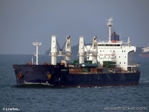
Vessel Iron Lady V IMO: 9445681, MMSI: 353211000 Bulk Carrier
UTC, -23.75911, 50.25898, course: 237, speed: 12.6
UTC, -24.14607, 49.62962, course: 235, speed: 12.7
2026-02-26 19:22:20 UTC, -24.24482, 49.46765, course: 237, speed: 12.9
Live AIS position:
UTC. 142 nm E of Fort Dauphin),
updated 2026-02-26 19:22:20 UTC.
Find the position of the vessel Iron Lady V on the map. The latter are known coordinates and path.
marine traffic ship tracker show on live map
The current position of vessel Iron Lady V is -24.24482 lat / 49.46765 lng. Updated: 2026-02-26 19:22:20 UTCCurrently sailing under the flag of Panama
Iron Lady V built in 2011 year
Deadweight:
57295 tDetails:
Last coordinates of the vessel:
UTC, -23.67027, 50.40437, course: 237, speed: 12.4UTC, -23.75911, 50.25898, course: 237, speed: 12.6
UTC, -24.14607, 49.62962, course: 235, speed: 12.7
2026-02-26 19:22:20 UTC, -24.24482, 49.46765, course: 237, speed: 12.9