 vesseltracker.com
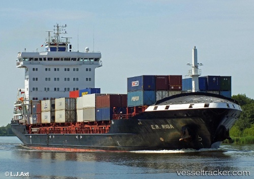
Vessel Marielyst IMO: 9448669, MMSI: 255806148 Container Ship
UTC, 54.86047, 17.11262, course: -1, speed: 14.6
UTC, 54.65412, 20.03854, course: 128, speed: 53
2026-03-25 02:09:33 UTC, 55.47378, 19.66328, course: 133, speed: 9
Live Vessel Marielyst Analytics (details, animations, etc.)
Live AIS position: UTC. 36 nm NW of Svetlogorsk), updated 2026-03-25 02:09:33 UTC.Find the position of the vessel Marielyst on the map. The latter are known coordinates and path.
marine traffic ship tracker show on live map
The current position of vessel Marielyst is 55.47378 lat / 19.66328 lng. Updated: 2026-03-25 02:09:33 UTCNearest reference points:
- 39 nm W of Pilies juru uosto PVP/Klaipeda
- 17 nm W of Gusevka
- 10 nm NW of Svetlogorsk
Currently sailing under the flag of Portugal
Marielyst built in 2010 year
Deadweight:
14236 tDetails:
Last coordinates of the vessel:
UTC, 54.73002, 15.98767, course: 78, speed: 14.4UTC, 54.86047, 17.11262, course: -1, speed: 14.6
UTC, 54.65412, 20.03854, course: 128, speed: 53
2026-03-25 02:09:33 UTC, 55.47378, 19.66328, course: 133, speed: 9