 vesseltracker.com
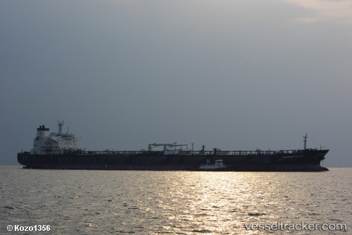
Vessel Paramount Hydra IMO: 9453999, MMSI: 235076283 Crude Oil Tanker
UTC, 29.27289, -93.70182, course: -1, speed: 0
UTC, 29.27314, -93.70145, course: -1, speed: 0
2026-02-26 10:08:11 UTC, 29.27323, -93.70180, course: -1, speed: 0
Live AIS position:
UTC. 29 nm S of Sabine Pass),
updated 2026-02-26 10:08:11 UTC.
Find the position of the vessel Paramount Hydra on the map. The latter are known coordinates and path.
marine traffic ship tracker show on live map
The current position of vessel Paramount Hydra is 29.27323 lat / -93.70180 lng. Updated: 2026-02-26 10:08:11 UTCCurrently sailing under the flag of United Kingdom
Paramount Hydra built in 2011 year
Deadweight:
113968 tDetails:
Last coordinates of the vessel:
UTC, 29.27294, -93.70141, course: -1, speed: 0UTC, 29.27289, -93.70182, course: -1, speed: 0
UTC, 29.27314, -93.70145, course: -1, speed: 0
2026-02-26 10:08:11 UTC, 29.27323, -93.70180, course: -1, speed: 0