 vesseltracker.com
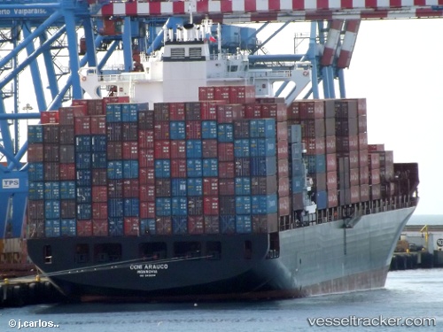
Vessel Rhine Maersk IMO: 9456991, MMSI: 219126000 Container Ship
UTC, 36.13320, -5.42623, course: 92, speed: 0
UTC, 36.13167, -5.42500, course: -1, speed: 0
2026-02-18 13:31:09 UTC, 36.13333, -5.42609, course: 91, speed: 0
Live AIS position:
UTC. Near Algeciras),
updated 2026-02-18 13:31:09 UTC.
Find the position of the vessel Rhine Maersk on the map. The latter are known coordinates and path.
marine traffic ship tracker show on live map
The current position of vessel Rhine Maersk is 36.13333 lat / -5.42609 lng. Updated: 2026-02-18 13:31:09 UTCDetails:
Last coordinates of the vessel:
UTC, 36.13316, -5.42630, course: 91, speed: 0UTC, 36.13320, -5.42623, course: 92, speed: 0
UTC, 36.13167, -5.42500, course: -1, speed: 0
2026-02-18 13:31:09 UTC, 36.13333, -5.42609, course: 91, speed: 0