 vesseltracker.com
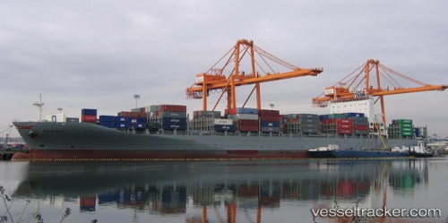
Vessel Wan Hai 512 IMO: 9457622, MMSI: 566642000 Container Ship
UTC, 19.06532, -104.29435, course: 18, speed: 5.6
UTC, 19.07585, -104.29673, course: 348, speed: 0
2026-02-21 13:53:00 UTC, 19.07584, -104.29675, course: 348, speed: 0
Live AIS position:
UTC. Near Manzanillo),
updated 2026-02-21 13:53:00 UTC.
Find the position of the vessel Wan Hai 512 on the map. The latter are known coordinates and path.
marine traffic ship tracker show on live map
The current position of vessel Wan Hai 512 is 19.07584 lat / -104.29675 lng. Updated: 2026-02-21 13:53:00 UTCCurrently sailing under the flag of Singapore
Details:
Last coordinates of the vessel:
UTC, 19.04206, -104.48532, course: 16, speed: 1.1UTC, 19.06532, -104.29435, course: 18, speed: 5.6
UTC, 19.07585, -104.29673, course: 348, speed: 0
2026-02-21 13:53:00 UTC, 19.07584, -104.29675, course: 348, speed: 0