 vesseltracker.com
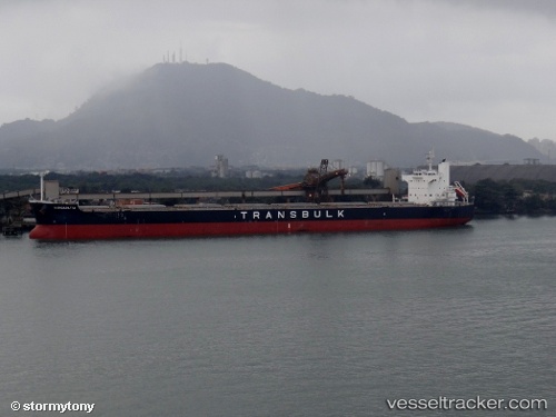
Vessel Wangaratta IMO: 9461166, MMSI: 370325000 Bulk Carrier
UTC, 54.57274, -178.46388, course: 267, speed: 11.8
UTC, 54.54333, -179.16333, course: -1, speed: 11
2026-03-20 15:33:49 UTC, 54.52961, -179.54163, course: 264, speed: 11.3
Live Vessel Wangaratta Analytics (details, animations, etc.)
Live AIS position: UTC. 161 nm S of Castle Island), updated 2026-03-20 15:33:49 UTC.Find the position of the vessel Wangaratta on the map. The latter are known coordinates and path.
marine traffic ship tracker show on live map
The current position of vessel Wangaratta is 54.52961 lat / -179.54163 lng. Updated: 2026-03-20 15:33:49 UTCCurrently sailing under the flag of Panama
Wangaratta built in 2011 year
Deadweight:
82206 tDetails:
Last coordinates of the vessel:
UTC, 54.60704, -177.64362, course: 265, speed: 11.9UTC, 54.57274, -178.46388, course: 267, speed: 11.8
UTC, 54.54333, -179.16333, course: -1, speed: 11
2026-03-20 15:33:49 UTC, 54.52961, -179.54163, course: 264, speed: 11.3