 vesseltracker.com
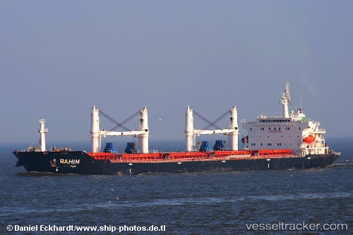
Vessel Avang IMO: 9465746, MMSI: 422035600 Bulk Carrier
Live Vessel Avang Analytics (details, animations, etc.)
Live AIS position: UTC. Near ASALUYEH), updated 2026-03-02 10:26:14 UTC.Find the position of the vessel Avang on the map. The latter are known coordinates and path.
marine traffic ship tracker show on live map
The current position of vessel Avang is 27.60170 lat / 52.41575 lng. Updated: 2026-03-02 10:26:14 UTCCurrently sailing under the flag of Iran
Avang built in 2008 year
Deadweight:
53100 tDetails:
Last coordinates of the vessel:
2026-03-02 10:26:14 UTC, 27.60170, 52.41575, course: -1, speed: 0.3