 vesseltracker.com
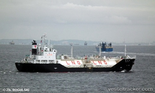
Vessel Kakurei Maru IMO: 9469235, MMSI: 431000792 Lng Tanker
UTC, 40.56057, 141.55933, course: 197, speed: 0.1
UTC, 40.56043, 141.55875, course: 163, speed: 0
2026-02-21 19:58:52 UTC, 40.56050, 141.55937, course: 197, speed: 0
Live AIS position:
UTC. Near Hachinohe),
updated 2026-02-21 19:58:52 UTC.
Find the position of the vessel Kakurei Maru on the map. The latter are known coordinates and path.
marine traffic ship tracker show on live map
The current position of vessel Kakurei Maru is 40.56050 lat / 141.55937 lng. Updated: 2026-02-21 19:58:52 UTCDetails:
Last coordinates of the vessel:
UTC, 40.56043, 141.55920, course: 192, speed: 0.1UTC, 40.56057, 141.55933, course: 197, speed: 0.1
UTC, 40.56043, 141.55875, course: 163, speed: 0
2026-02-21 19:58:52 UTC, 40.56050, 141.55937, course: 197, speed: 0