 vesseltracker.com
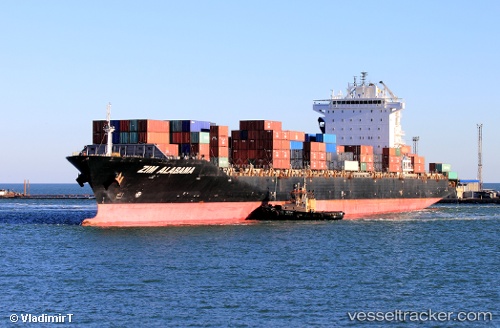
Vessel MSC NASSAU IMO: 9471226, MMSI: 636021128 Container Ship
UTC, 51.40381, 3.08309, course: 285, speed: 1.4
UTC, 51.40381, 3.08309, course: 285, speed: 1.4
2026-02-15 21:16:52 UTC, 51.40381, 3.08309, course: 285, speed: 1.4
Live AIS position:
UTC. Near Zeebrugge),
updated 2026-02-15 21:16:52 UTC.
Find the position of the vessel MSC NASSAU on the map. The latter are known coordinates and path.
marine traffic ship tracker show on live map
The current position of vessel MSC NASSAU is 51.40381 lat / 3.08309 lng. Updated: 2026-02-15 21:16:52 UTCCurrently sailing under the flag of Liberia
MSC NASSAU built in 2010 year
Deadweight:
50157 tDetails:
Last coordinates of the vessel:
UTC, 51.09503, 1.77273, course: 58, speed: 1.2UTC, 51.40381, 3.08309, course: 285, speed: 1.4
UTC, 51.40381, 3.08309, course: 285, speed: 1.4
2026-02-15 21:16:52 UTC, 51.40381, 3.08309, course: 285, speed: 1.4