 vesseltracker.com
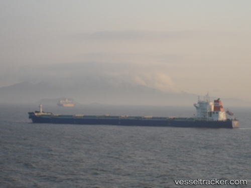
Vessel MINOAN BAY IMO: 9474618, MMSI: 636025276 Bulk Carrier
UTC, -1.24846, 50.99957, course: 46, speed: 7.2
UTC, -1.08667, 51.12833, course: -1, speed: 7
2026-03-24 13:50:31 UTC, -0.88179, 51.28383, course: 43, speed: 7.2
Live Vessel MINOAN BAY Analytics (details, animations, etc.)
Live AIS position: UTC. 322 nm NW of Ile Desroches), updated 2026-03-24 13:50:31 UTC.Find the position of the vessel MINOAN BAY on the map. The latter are known coordinates and path.
marine traffic ship tracker show on live map
The current position of vessel MINOAN BAY is -0.88179 lat / 51.28383 lng. Updated: 2026-03-24 13:50:31 UTCCurrently sailing under the flag of Liberia
Details:
Last coordinates of the vessel:
UTC, -1.50667, 50.81833, course: -1, speed: 7UTC, -1.24846, 50.99957, course: 46, speed: 7.2
UTC, -1.08667, 51.12833, course: -1, speed: 7
2026-03-24 13:50:31 UTC, -0.88179, 51.28383, course: 43, speed: 7.2