 vesseltracker.com
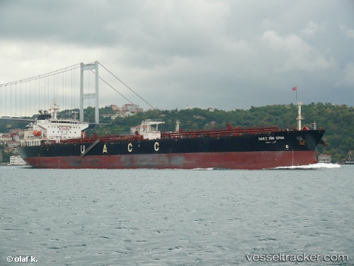
Vessel UOG IOANNIS V IMO: 9485629, MMSI: 538009860 Crude Oil Tanker
UTC, 26.52118, -78.76639, course: 306, speed: 0
UTC, 26.52122, -78.76650, course: 306, speed: 0
2026-03-25 04:15:52 UTC, 26.38643, -78.65462, course: 118, speed: 12.3
Live Vessel UOG IOANNIS V Analytics (details, animations, etc.)
Live AIS position: UTC. Near Lucaya), updated 2026-03-25 04:15:52 UTC.Find the position of the vessel UOG IOANNIS V on the map. The latter are known coordinates and path.
marine traffic ship tracker show on live map
The current position of vessel UOG IOANNIS V is 26.38643 lat / -78.65462 lng. Updated: 2026-03-25 04:15:52 UTCNearest reference points:
- 44 nm S of Freeport
- 44 nm E of Surfside
- Near Palm Beach
Currently sailing under the flag of Marshall Islands
UOG IOANNIS V built in 2008 year
Deadweight:
73338 tDetails:
Last coordinates of the vessel:
UTC, 26.52119, -78.76642, course: 306, speed: 0UTC, 26.52118, -78.76639, course: 306, speed: 0
UTC, 26.52122, -78.76650, course: 306, speed: 0
2026-03-25 04:15:52 UTC, 26.38643, -78.65462, course: 118, speed: 12.3