 vesseltracker.com
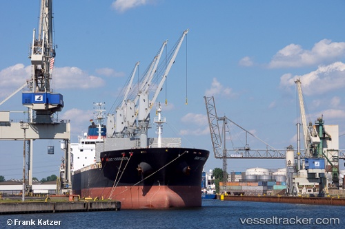
Vessel Saint Vassilios IMO: 9486403, MMSI: 538004639 Bulk Carrier
UTC, 33.74345, -7.68039, course: 333, speed: 0.1
UTC, 33.74311, -7.68152, course: 6, speed: 0.1
2026-03-24 15:37:21 UTC, 33.74307, -7.68238, course: -1, speed: 0.2
Live Vessel Saint Vassilios Analytics (details, animations, etc.)
Live AIS position: UTC. Near Casablanca), updated 2026-03-24 15:37:21 UTC.Find the position of the vessel Saint Vassilios on the map. The latter are known coordinates and path.
marine traffic ship tracker show on live map
The current position of vessel Saint Vassilios is 33.74307 lat / -7.68238 lng. Updated: 2026-03-24 15:37:21 UTCCurrently sailing under the flag of Marshall Is
Saint Vassilios built in 2012 year
Deadweight:
33889 tDetails:
Last coordinates of the vessel:
UTC, 33.74354, -7.68068, course: 340, speed: 0.1UTC, 33.74345, -7.68039, course: 333, speed: 0.1
UTC, 33.74311, -7.68152, course: 6, speed: 0.1
2026-03-24 15:37:21 UTC, 33.74307, -7.68238, course: -1, speed: 0.2