 vesseltracker.com
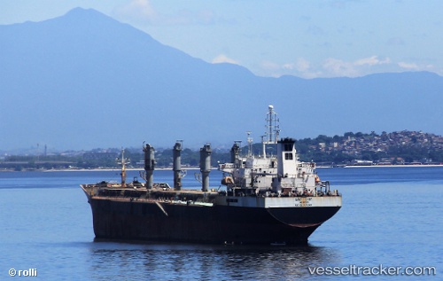
Vessel Sao Luiz IMO: 9492139, MMSI: 311065600 Crude Oil Tanker
UTC, -11.64020, -35.30323, course: 189, speed: 10.7
UTC, -11.94147, -35.35593, course: 189, speed: 10.6
2026-02-18 19:54:39 UTC, -12.29182, -35.42307, course: 194, speed: 10.5
Live AIS position:
UTC. 121 nm SE of Aracaju),
updated 2026-02-18 19:54:39 UTC.
Find the position of the vessel Sao Luiz on the map. The latter are known coordinates and path.
marine traffic ship tracker show on live map
The current position of vessel Sao Luiz is -12.29182 lat / -35.42307 lng. Updated: 2026-02-18 19:54:39 UTCDetails:
Last coordinates of the vessel:
UTC, -11.19233, -35.20894, course: 191, speed: 10.6UTC, -11.64020, -35.30323, course: 189, speed: 10.7
UTC, -11.94147, -35.35593, course: 189, speed: 10.6
2026-02-18 19:54:39 UTC, -12.29182, -35.42307, course: 194, speed: 10.5