 vesseltracker.com
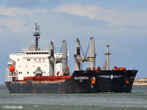
Vessel 'ELINA II' IMO: 9508706, MMSI: 357478000
UTC, 22.12212, 91.78356, course: 332, speed: 0
UTC, 22.12195, 91.78308, course: 342, speed: 0.3
2026-02-09 17:41:07 UTC, 22.12192, 91.78292, course: 350, speed: 0
Live AIS position:
UTC. 12 nm S of Chittagong),
updated 2026-02-09 17:41:07 UTC.
Find the position of the vessel 'ELINA II' on the map. The latter are known coordinates and path.
marine traffic ship tracker show on live map
The current position of vessel 'ELINA II' is 22.12192 lat / 91.78292 lng. Updated: 2026-02-09 17:41:07 UTCDetails:
Last coordinates of the vessel:
UTC, 22.12268, 91.78381, course: 317, speed: 0.1UTC, 22.12212, 91.78356, course: 332, speed: 0
UTC, 22.12195, 91.78308, course: 342, speed: 0.3
2026-02-09 17:41:07 UTC, 22.12192, 91.78292, course: 350, speed: 0