 vesseltracker.com
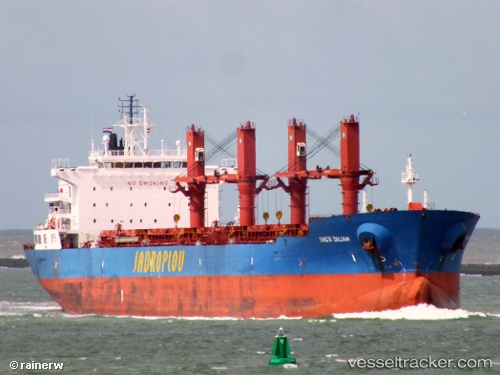
Vessel Sveti Dujam IMO: 9519638, MMSI: 238293000 Bulk Carrier
UTC, 31.13885, 29.79713, course: 212, speed: 0
UTC, 31.13884, 29.79716, course: 213, speed: 0
2026-03-24 16:18:41 UTC, 31.13883, 29.79716, course: 213, speed: 0
Live Vessel Sveti Dujam Analytics (details, animations, etc.)
Live AIS position: UTC. Near EL DEKHEILA), updated 2026-03-24 16:18:41 UTC.Find the position of the vessel Sveti Dujam on the map. The latter are known coordinates and path.
marine traffic ship tracker show on live map
The current position of vessel Sveti Dujam is 31.13883 lat / 29.79716 lng. Updated: 2026-03-24 16:18:41 UTCDetails:
Last coordinates of the vessel:
UTC, 31.13884, 29.79714, course: 212, speed: 0UTC, 31.13885, 29.79713, course: 212, speed: 0
UTC, 31.13884, 29.79716, course: 213, speed: 0
2026-03-24 16:18:41 UTC, 31.13883, 29.79716, course: 213, speed: 0