 vesseltracker.com
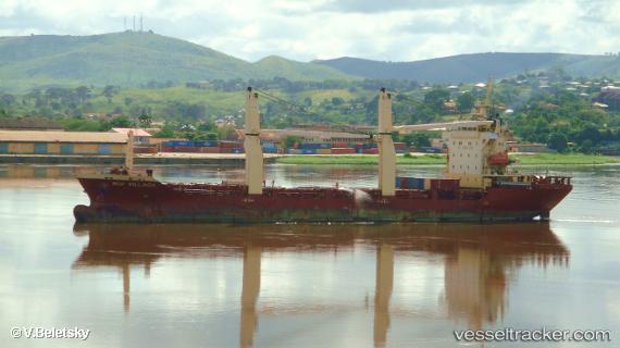
Vessel MERATUS PADANG IMO: 9520493, MMSI: 525125017 General Cargo Ship
Live AIS position:
UTC. Near Kalianak Barat),
updated 2023-01-08 09:20:44 UTC.
Find the position of the vessel MERATUS PADANG on the map. The latter are known coordinates and path.
marine traffic ship tracker show on live map
The current position of vessel MERATUS PADANG is -7.18686 lat / 112.70420 lng. Updated: 2023-01-08 09:20:44 UTCCurrently sailing under the flag of Indonesia
MERATUS PADANG built in 2008 year
Deadweight:
7664 tDetails:
Last coordinates of the vessel:
2023-01-08 09:20:44 UTC, -7.18686, 112.70420, course: 0, speed: 0.1