 vesseltracker.com
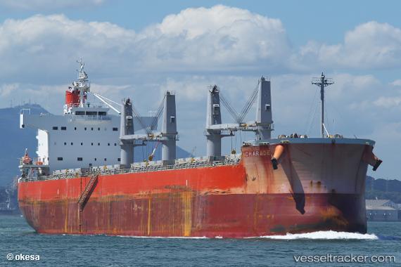
Vessel Charade IMO: 9520651, MMSI: 636018470 Bulk Carrier
UTC, 38.40613, 141.28548, course: 354, speed: 0
UTC, 38.40615, 141.28548, course: 354, speed: 0
2026-03-24 15:51:15 UTC, 38.40615, 141.28549, course: 354, speed: 0
Live Vessel Charade Analytics (details, animations, etc.)
Live AIS position: UTC. Near ISHINOMAKI), updated 2026-03-24 15:51:15 UTC.Find the position of the vessel Charade on the map. The latter are known coordinates and path.
marine traffic ship tracker show on live map
The current position of vessel Charade is 38.40615 lat / 141.28549 lng. Updated: 2026-03-24 15:51:15 UTCDetails:
Last coordinates of the vessel:
UTC, 38.40616, 141.28551, course: 354, speed: 0UTC, 38.40613, 141.28548, course: 354, speed: 0
UTC, 38.40615, 141.28548, course: 354, speed: 0
2026-03-24 15:51:15 UTC, 38.40615, 141.28549, course: 354, speed: 0