 vesseltracker.com
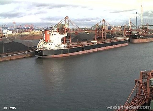
Vessel Madredeus IMO: 9520845, MMSI: 538005471 Bulk Carrier
UTC, 7.89667, 109.46833, course: -1, speed: 9
UTC, 8.30667, 109.53333, course: -1, speed: 9
2026-02-13 01:20:21 UTC, 8.44287, 109.55258, course: 9, speed: 9.2
Live AIS position:
UTC. 52 nm E of Dai Hung (Tandem Load)),
updated 2026-02-13 01:20:21 UTC.
Find the position of the vessel Madredeus on the map. The latter are known coordinates and path.
marine traffic ship tracker show on live map
The current position of vessel Madredeus is 8.44287 lat / 109.55258 lng. Updated: 2026-02-13 01:20:21 UTCDetails:
Last coordinates of the vessel:
UTC, 7.60500, 109.42500, course: -1, speed: 9UTC, 7.89667, 109.46833, course: -1, speed: 9
UTC, 8.30667, 109.53333, course: -1, speed: 9
2026-02-13 01:20:21 UTC, 8.44287, 109.55258, course: 9, speed: 9.2