 vesseltracker.com
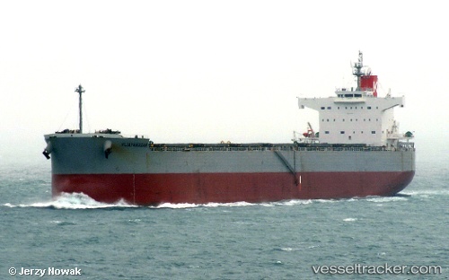
Vessel OINOUSSIAN VIGOUR IMO: 9523263, MMSI: 538009678 Bulk Carrier
UTC, -41.84842, -5.23309, course: 97, speed: 12.6
UTC, -41.88196, -4.93755, course: 97, speed: 11.9
2026-02-18 19:26:16 UTC, -41.95026, -4.39548, course: 96, speed: 11.8
Live AIS position:
UTC. 197 nm E of Ramalde),
updated 2026-02-18 19:26:16 UTC.
Find the position of the vessel OINOUSSIAN VIGOUR on the map. The latter are known coordinates and path.
marine traffic ship tracker show on live map
The current position of vessel OINOUSSIAN VIGOUR is -41.95026 lat / -4.39548 lng. Updated: 2026-02-18 19:26:16 UTCCurrently sailing under the flag of Marshall Islands
OINOUSSIAN VIGOUR built in 2010 year
Deadweight:
82167 tDetails:
Last coordinates of the vessel:
UTC, -41.75725, -6.00893, course: 97, speed: 12.4UTC, -41.84842, -5.23309, course: 97, speed: 12.6
UTC, -41.88196, -4.93755, course: 97, speed: 11.9
2026-02-18 19:26:16 UTC, -41.95026, -4.39548, course: 96, speed: 11.8