 vesseltracker.com
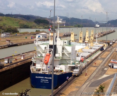
Vessel PARO IMO: 9524542, MMSI: 538009357 Bulk Carrier
UTC, 26.52658, 56.43632, course: 69, speed: 12.4
2026-02-15 04:56:13 UTC, 26.52658, 56.43632, course: 69, speed: 12.4
Live AIS position:
UTC. Near Quoin Island),
updated 2026-02-15 04:56:13 UTC.
Find the position of the vessel PARO on the map. The latter are known coordinates and path.
marine traffic ship tracker show on live map
The current position of vessel PARO is 26.52658 lat / 56.43632 lng. Updated: 2026-02-15 04:56:13 UTCCurrently sailing under the flag of Marshall Islands
PARO built in 2009 year
Deadweight:
55691 tDetails:
Last coordinates of the vessel:
UTC, 26.52658, 56.43632, course: 69, speed: 12.4UTC, 26.52658, 56.43632, course: 69, speed: 12.4
2026-02-15 04:56:13 UTC, 26.52658, 56.43632, course: 69, speed: 12.4