 vesseltracker.com
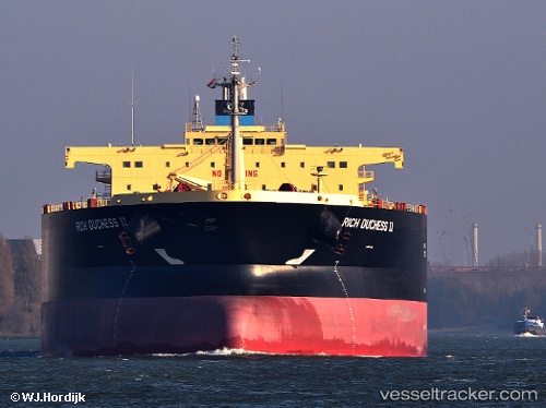
Vessel BLUE MOON IMO: 9524994, MMSI: 538008604 Crude Oil Tanker
UTC, 4.54562, 112.68996, course: 58, speed: 11.9
UTC, 4.54562, 112.68996, course: 58, speed: 11.9
2026-03-24 08:24:44 UTC, 4.82967, 113.13850, course: -1, speed: 12.2
Live Vessel BLUE MOON Analytics (details, animations, etc.)
Live AIS position: UTC. 56 nm NW of MIRI), updated 2026-03-24 08:24:44 UTC.Find the position of the vessel BLUE MOON on the map. The latter are known coordinates and path.
marine traffic ship tracker show on live map
The current position of vessel BLUE MOON is 4.82967 lat / 113.13850 lng. Updated: 2026-03-24 08:24:44 UTCCurrently sailing under the flag of Marshall Islands
BLUE MOON built in 2011 year
Deadweight:
104623 tDetails:
Last coordinates of the vessel:
UTC, 4.43706, 112.38155, course: -1, speed: 12.2UTC, 4.54562, 112.68996, course: 58, speed: 11.9
UTC, 4.54562, 112.68996, course: 58, speed: 11.9
2026-03-24 08:24:44 UTC, 4.82967, 113.13850, course: -1, speed: 12.2