 vesseltracker.com
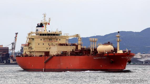
Vessel Navigator Glory IMO: 9531466, MMSI: 636015942 Lpg Tanker
UTC, 22.90300, 126.39988, course: 251, speed: 15.7
UTC, 22.70924, 125.80684, course: 251, speed: 16
2026-02-16 20:12:29 UTC, 22.70924, 125.80684, course: 251, speed: 16
Live AIS position:
UTC. 128 nm S of Miyakojima),
updated 2026-02-16 20:12:29 UTC.
Find the position of the vessel Navigator Glory on the map. The latter are known coordinates and path.
marine traffic ship tracker show on live map
The current position of vessel Navigator Glory is 22.70924 lat / 125.80684 lng. Updated: 2026-02-16 20:12:29 UTCDetails:
Last coordinates of the vessel:
UTC, 22.90300, 126.39988, course: 251, speed: 15.7UTC, 22.90300, 126.39988, course: 251, speed: 15.7
UTC, 22.70924, 125.80684, course: 251, speed: 16
2026-02-16 20:12:29 UTC, 22.70924, 125.80684, course: 251, speed: 16