 vesseltracker.com
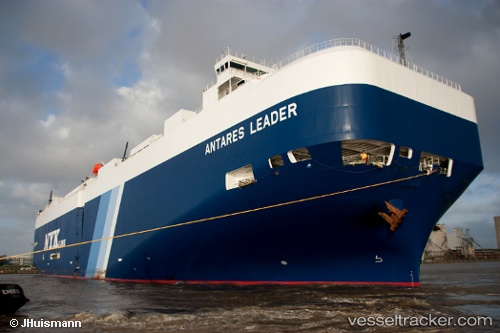
Vessel ANTARES LEADER IMO: 9539169, MMSI: 431761000 Vehicles Carrier
UTC, 25.66320, 53.57333, course: 52, speed: 1.1
UTC, 25.66859, 53.51289, course: 47, speed: 1.2
2026-03-24 20:06:23 UTC, 25.67167, 53.47667, course: -1, speed: 0
Live Vessel ANTARES LEADER Analytics (details, animations, etc.)
Live AIS position: UTC. 12 nm N of Mirfa), updated 2026-03-24 20:06:23 UTC.Find the position of the vessel ANTARES LEADER on the map. The latter are known coordinates and path.
marine traffic ship tracker show on live map
The current position of vessel ANTARES LEADER is 25.67167 lat / 53.47667 lng. Updated: 2026-03-24 20:06:23 UTCCurrently sailing under the flag of Japan
ANTARES LEADER built in 2011 year
Deadweight:
18646 tDetails:
Last coordinates of the vessel:
UTC, 25.64815, 53.61814, course: -1, speed: 1.5UTC, 25.66320, 53.57333, course: 52, speed: 1.1
UTC, 25.66859, 53.51289, course: 47, speed: 1.2
2026-03-24 20:06:23 UTC, 25.67167, 53.47667, course: -1, speed: 0