 vesseltracker.com
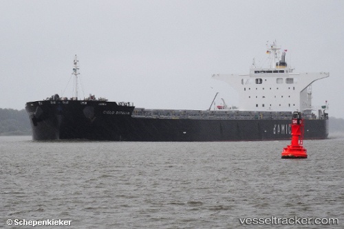
Vessel CIELO DITALIA IMO: 9539274, MMSI: 636019932
UTC, 18.07500, 142.00166, course: -1, speed: 11
UTC, 18.57333, 141.78833, course: -1, speed: 11
2026-02-15 21:39:41 UTC, 18.82167, 141.67500, course: -1, speed: 11
Live AIS position:
UTC. 318 nm NW of Saipan),
updated 2026-02-15 21:39:41 UTC.
Find the position of the vessel CIELO DITALIA on the map. The latter are known coordinates and path.
marine traffic ship tracker show on live map
The current position of vessel CIELO DITALIA is 18.82167 lat / 141.67500 lng. Updated: 2026-02-15 21:39:41 UTCDetails:
Last coordinates of the vessel:
UTC, 17.68687, 142.17627, course: 336, speed: 11.6UTC, 18.07500, 142.00166, course: -1, speed: 11
UTC, 18.57333, 141.78833, course: -1, speed: 11
2026-02-15 21:39:41 UTC, 18.82167, 141.67500, course: -1, speed: 11