 vesseltracker.com
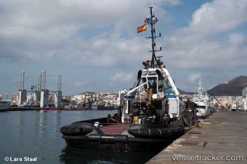
 Capo Noli
Current Status
Where is the vessel?
Capo Noli is currently in Near Savona, based on AIS data received about 2h ago.
Latest AIS update:
Current position: 44.30922° N, 8.48936° E (Near Savona)
Average speed (last 7 days): Loading…
Average speed (last 30 days): Loading…
Vessel profile: Capo Noli is a [tug.offshore_tug_supply] with dimensions 31m x 11m.
This page combines live AIS, route history, probable destination signals, nearby traffic, and port activity for practical vessel monitoring.
The current position of vessel Capo Noli is 44.30922 lat / 8.48936 lng. Updated: 2026-03-25 23:38:05 UTCNearest reference points:
- Near Savona
- Near VARAZZE
- Near Finale Ligure
Currently sailing under the flag of Italy ![]()
Details:
Live Vessel Capo Noli Analytics (details, animations, etc.)
Recent AIS points (UTC):
2026-03-25 18:20:14 UTC · 44.27084, 8.44619 · SOG 0.1 kn · COG 223°2026-03-25 19:33:45 UTC · 44.27085, 8.44619 · SOG 0.2 kn · COG 222°
2026-03-25 21:39:13 UTC · 44.26730, 8.44781 · SOG 0.4 kn · COG 312°
2026-03-25 23:38:05 UTC · 44.30922, 8.48936 · SOG 0 kn · COG -1°