 vesseltracker.com
 AGIA FOTINI
Current Status
Where is the vessel?
AGIA FOTINI is currently in Near Oran, based on AIS data received about 1h ago.
Latest AIS update:
Current position: 35.71253° N, 0.63699° W (Near Oran)
Average speed (last 7 days): Loading…
Average speed (last 30 days): Loading…
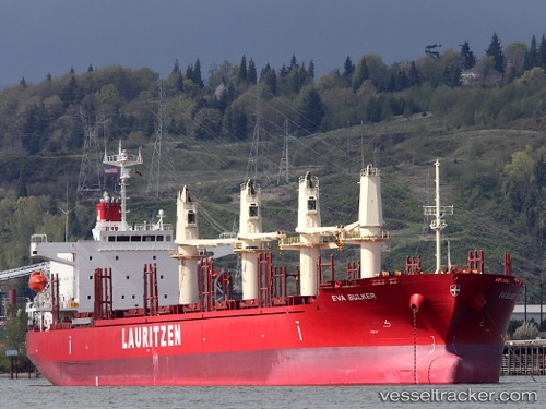
Vessel profile: AGIA FOTINI is a Bulk Carrier with dimensions 185m x 31m.
This page combines live AIS, route history, probable destination signals, nearby traffic, and port activity for practical vessel monitoring.
The current position of vessel AGIA FOTINI is 35.71253 lat / -0.63699 lng. Updated: 2026-03-25 16:10:40 UTCNearest reference points:
- Near Oran
- Near Arzew
- 30 nm N of Mers El Kebir
Currently sailing under the flag of Marshall Islands ![]()
AGIA FOTINI built in 2012 year
Deadweight:
38140 tDetails:
Live Vessel AGIA FOTINI Analytics (details, animations, etc.)
Recent AIS points (UTC):
2026-03-25 09:34:40 UTC · 35.71250, -0.63694 · SOG 0 kn · COG 67°2026-03-25 11:37:40 UTC · 35.71250, -0.63695 · SOG 0 kn · COG 67°
2026-03-25 13:34:39 UTC · 35.71247, -0.63693 · SOG 0 kn · COG 67°
2026-03-25 16:10:40 UTC · 35.71253, -0.63699 · SOG 0.1 kn · COG 67°