 vesseltracker.com
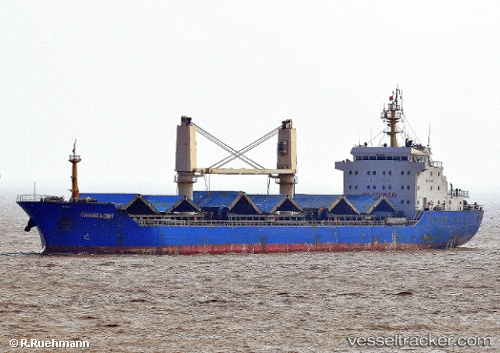
Vessel Chang Long IMO: 9545637, MMSI: 357007000 General Cargo Ship
UTC, 38.26667, 141.03168, course: -1, speed: 0
UTC, 38.26667, 141.03168, course: -1, speed: 0
2026-02-27 00:18:42 UTC, 38.26667, 141.03168, course: -1, speed: 0
Live AIS position:
UTC. Near SENDAI),
updated 2026-02-27 00:18:42 UTC.
Find the position of the vessel Chang Long on the map. The latter are known coordinates and path.
marine traffic ship tracker show on live map
The current position of vessel Chang Long is 38.26667 lat / 141.03168 lng. Updated: 2026-02-27 00:18:42 UTCDetails:
Last coordinates of the vessel:
UTC, 38.26667, 141.03168, course: -1, speed: 0UTC, 38.26667, 141.03168, course: -1, speed: 0
UTC, 38.26667, 141.03168, course: -1, speed: 0
2026-02-27 00:18:42 UTC, 38.26667, 141.03168, course: -1, speed: 0