 vesseltracker.com
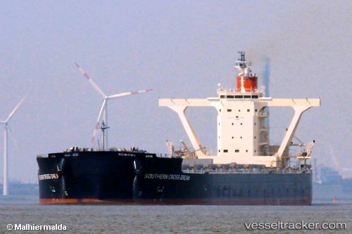
Vessel SOUTHERN CROSS DREAM IMO: 9558189, MMSI: 431051000 Bulk Carrier
UTC, 10.46081, 112.25291, course: 34, speed: 13.7
UTC, 10.68167, 112.41667, course: -1, speed: 13
2026-02-26 12:19:00 UTC, 11.18062, 112.82440, course: 39, speed: 14
Live AIS position:
UTC. 220 nm SE of Dam Mon),
updated 2026-02-26 12:19:00 UTC.
Find the position of the vessel SOUTHERN CROSS DREAM on the map. The latter are known coordinates and path.
marine traffic ship tracker show on live map
The current position of vessel SOUTHERN CROSS DREAM is 11.18062 lat / 112.82440 lng. Updated: 2026-02-26 12:19:00 UTCCurrently sailing under the flag of Japan
SOUTHERN CROSS DREAM built in 2011 year
Deadweight:
180694 tDetails:
Last coordinates of the vessel:
UTC, 9.94769, 111.83196, course: 36, speed: 13.6UTC, 10.46081, 112.25291, course: 34, speed: 13.7
UTC, 10.68167, 112.41667, course: -1, speed: 13
2026-02-26 12:19:00 UTC, 11.18062, 112.82440, course: 39, speed: 14