 vesseltracker.com
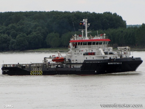
Vessel Judy LaMarsh IMO: 9560120, MMSI: 316050643 Tug
UTC, 42.30078, -83.08624, course: 35, speed: 6.4
UTC, 42.32012, -83.04216, course: 69, speed: 0
2026-03-25 01:48:15 UTC, 42.32012, -83.04216, course: 69, speed: 0
Live Vessel Judy LaMarsh Analytics (details, animations, etc.)
Live AIS position: UTC. Near DETROIT), updated 2026-03-25 01:48:15 UTC.Find the position of the vessel Judy LaMarsh on the map. The latter are known coordinates and path.
marine traffic ship tracker show on live map
The current position of vessel Judy LaMarsh is 42.32012 lat / -83.04216 lng. Updated: 2026-03-25 01:48:15 UTCCurrently sailing under the flag of Canada
Judy LaMarsh built in 2010 year
Deadweight:
743 tDetails:
Last coordinates of the vessel:
UTC, 42.10515, -83.11704, course: 352, speed: 5.3UTC, 42.30078, -83.08624, course: 35, speed: 6.4
UTC, 42.32012, -83.04216, course: 69, speed: 0
2026-03-25 01:48:15 UTC, 42.32012, -83.04216, course: 69, speed: 0