 vesseltracker.com
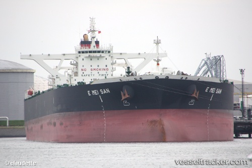
Vessel KALAMOS IMO: 9560766, MMSI: 636021297 Crude Oil Tanker
UTC, 23.98536, 38.12939, course: 307, speed: 0
UTC, 23.98563, 38.12955, course: 301, speed: 0
2026-03-24 23:26:19 UTC, 23.98505, 38.12908, course: 314, speed: 0.5
Live Vessel KALAMOS Analytics (details, animations, etc.)
Live AIS position: UTC. Near Yanbu), updated 2026-03-24 23:26:19 UTC.Find the position of the vessel KALAMOS on the map. The latter are known coordinates and path.
marine traffic ship tracker show on live map
The current position of vessel KALAMOS is 23.98505 lat / 38.12908 lng. Updated: 2026-03-24 23:26:19 UTCCurrently sailing under the flag of Liberia
KALAMOS built in 2010 year
Deadweight:
317952 tDetails:
Last coordinates of the vessel:
UTC, 23.98571, 38.12956, course: 300, speed: 0.1UTC, 23.98536, 38.12939, course: 307, speed: 0
UTC, 23.98563, 38.12955, course: 301, speed: 0
2026-03-24 23:26:19 UTC, 23.98505, 38.12908, course: 314, speed: 0.5