 vesseltracker.com
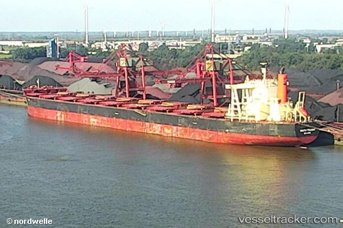
Vessel MARIA IMO: 9568005, MMSI: 210396000 Bulk Carrier
UTC, -17.40800, 146.18301, course: 165, speed: 12.5
UTC, -17.75801, 146.28477, course: 165, speed: 12.8
2026-02-13 17:25:40 UTC, -17.99862, 146.35191, course: 163, speed: 12.6
Live AIS position:
UTC. 23 nm N of Hinchinbrook Island),
updated 2026-02-13 17:25:40 UTC.
Find the position of the vessel MARIA on the map. The latter are known coordinates and path.
marine traffic ship tracker show on live map
The current position of vessel MARIA is -17.99862 lat / 146.35191 lng. Updated: 2026-02-13 17:25:40 UTCCurrently sailing under the flag of Cyprus
MARIA built in 2014 year
Deadweight:
181343 tDetails:
Last coordinates of the vessel:
UTC, -16.83358, 145.97942, course: 141, speed: 12.6UTC, -17.40800, 146.18301, course: 165, speed: 12.5
UTC, -17.75801, 146.28477, course: 165, speed: 12.8
2026-02-13 17:25:40 UTC, -17.99862, 146.35191, course: 163, speed: 12.6