 vesseltracker.com
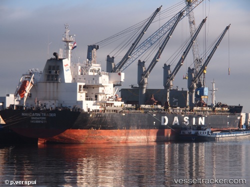
Vessel EASTERN LAELIA IMO: 9569279, MMSI: 636021949 Bulk Carrier
UTC, -6.74127, 39.33333, course: 183, speed: 0.1
UTC, -6.74248, 39.33089, course: 92, speed: 0
2026-03-18 07:37:43 UTC, -6.74252, 39.33083, course: 84, speed: 0
Live Vessel EASTERN LAELIA Analytics (details, animations, etc.)
Live AIS position: UTC. Near Dar es Salaam), updated 2026-03-18 07:37:43 UTC.Find the position of the vessel EASTERN LAELIA on the map. The latter are known coordinates and path.
marine traffic ship tracker show on live map
The current position of vessel EASTERN LAELIA is -6.74252 lat / 39.33083 lng. Updated: 2026-03-18 07:37:43 UTCCurrently sailing under the flag of Liberia
EASTERN LAELIA built in 2011 year
Deadweight:
56677 tDetails:
Last coordinates of the vessel:
UTC, -6.74174, 39.33389, course: 225, speed: 0.1UTC, -6.74127, 39.33333, course: 183, speed: 0.1
UTC, -6.74248, 39.33089, course: 92, speed: 0
2026-03-18 07:37:43 UTC, -6.74252, 39.33083, course: 84, speed: 0