 vesseltracker.com
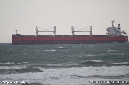
Vessel Almar IMO: 9572070, MMSI: 538004314 Bulk Carrier
UTC, 14.81683, 120.29497, course: 31, speed: 0
UTC, 14.81681, 120.29497, course: 31, speed: 0
2026-03-24 05:29:56 UTC, 14.75629, 120.20418, course: 181, speed: 11.6
Live Vessel Almar Analytics (details, animations, etc.)
Live AIS position: UTC. Near Subic Bay), updated 2026-03-24 05:29:56 UTC.Find the position of the vessel Almar on the map. The latter are known coordinates and path.
marine traffic ship tracker show on live map
The current position of vessel Almar is 14.75629 lat / 120.20418 lng. Updated: 2026-03-24 05:29:56 UTCDetails:
Last coordinates of the vessel:
UTC, 14.81686, 120.29498, course: 31, speed: 0UTC, 14.81683, 120.29497, course: 31, speed: 0
UTC, 14.81681, 120.29497, course: 31, speed: 0
2026-03-24 05:29:56 UTC, 14.75629, 120.20418, course: 181, speed: 11.6