 vesseltracker.com
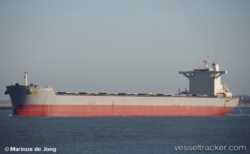
Vessel Amorito IMO: 9584607, MMSI: 636017770 Bulk Carrier
UTC, 21.07298, 170.81583, course: 293, speed: 10.1
UTC, 21.23944, 170.35088, course: 287, speed: 11.1
2026-03-24 21:25:14 UTC, 21.31374, 170.13371, course: 289, speed: 11.2
Live Vessel Amorito Analytics (details, animations, etc.)
Live AIS position: UTC. 234 nm NE of Wake Island), updated 2026-03-24 21:25:14 UTC.Find the position of the vessel Amorito on the map. The latter are known coordinates and path.
marine traffic ship tracker show on live map
The current position of vessel Amorito is 21.31374 lat / 170.13371 lng. Updated: 2026-03-24 21:25:14 UTCDetails:
Last coordinates of the vessel:
UTC, 20.98074, 171.05846, course: 294, speed: 10.6UTC, 21.07298, 170.81583, course: 293, speed: 10.1
UTC, 21.23944, 170.35088, course: 287, speed: 11.1
2026-03-24 21:25:14 UTC, 21.31374, 170.13371, course: 289, speed: 11.2