 vesseltracker.com
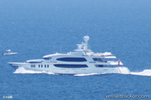
Skyfall
Current StatusLive Vessel Skyfall Analytics (details, animations, etc.)
Where is the vessel?
Skyfall is currently in Near Rivera Beach, based on AIS data received about 1h ago.
Latest AIS update:
Current position: 26.71527° N, 80.04736° W (Near Rivera Beach)
Vessel profile: Skyfall is a Service Ship with dimensions 11m x 58m.
This page combines live AIS, route history, probable destination signals, nearby traffic, and port activity for practical vessel monitoring.
The current position of vessel Skyfall is 26.71527 lat / -80.04736 lng. Updated: 2026-03-25 06:28:08 UTCNearest reference points:
- Near Rivera Beach
- Near Palm Beach
- Near Lake Park
Details:
Last coordinates of the vessel:
2026-03-25 00:19:28 UTC, 26.71500, -80.04667, course: -1, speed: 02026-03-25 01:48:35 UTC, 26.71527, -80.04734, course: 177, speed: 0
2026-03-25 04:16:25 UTC, 26.71500, -80.04667, course: -1, speed: 0
2026-03-25 06:28:08 UTC, 26.71527, -80.04736, course: 176, speed: 0