 vesseltracker.com
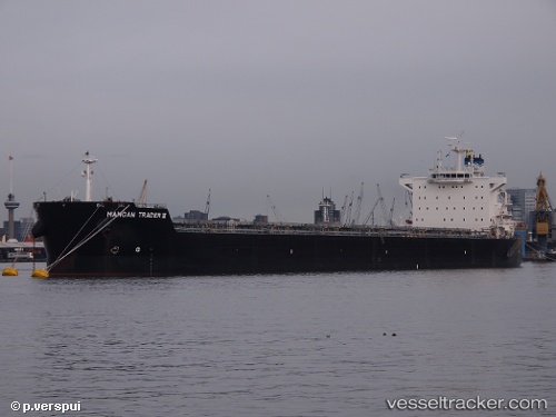
Vessel MAHA TANAYA IMO: 9591181, MMSI: 419001726 Bulk Carrier
UTC, -33.67908, -18.51216, course: 288, speed: 11.1
UTC, -33.57606, -18.97871, course: 286, speed: 11.1
2026-02-21 16:06:17 UTC, -33.45236, -19.52929, course: 285, speed: 11.2
Live AIS position:
UTC. 58 nm NW of Windermere),
updated 2026-02-21 16:06:17 UTC.
Find the position of the vessel MAHA TANAYA on the map. The latter are known coordinates and path.
marine traffic ship tracker show on live map
The current position of vessel MAHA TANAYA is -33.45236 lat / -19.52929 lng. Updated: 2026-02-21 16:06:17 UTCCurrently sailing under the flag of India
MAHA TANAYA built in 2013 year
Deadweight:
83987 tDetails:
Last coordinates of the vessel:
UTC, -33.76074, -18.13058, course: 303, speed: 10.2UTC, -33.67908, -18.51216, course: 288, speed: 11.1
UTC, -33.57606, -18.97871, course: 286, speed: 11.1
2026-02-21 16:06:17 UTC, -33.45236, -19.52929, course: 285, speed: 11.2