 vesseltracker.com
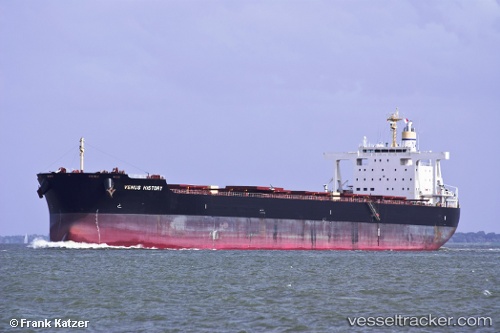
Venus History
Current StatusLive Vessel Venus History Analytics (details, animations, etc.)
Where is the vessel?
Venus History is currently in 91 nm SE of Eauripik Atoll, based on AIS data received about 1h ago.
Latest AIS update:
Current position: 5.39882° N, 143.85715° E (91 nm SE of Eauripik Atoll)
Vessel profile: Venus History is a Bulk Carrier with dimensions 38m x 235m.
This page combines live AIS, route history, probable destination signals, nearby traffic, and port activity for practical vessel monitoring.
The current position of vessel Venus History is 5.39882 lat / 143.85715 lng. Updated: 2026-03-25 06:16:50 UTCDetails:
Recent AIS points (UTC):
2026-03-24 23:24:50 UTC · 4.34665, 144.04826 · SOG 9.5 kn · COG 347°2026-03-25 01:58:00 UTC · 4.73655, 143.97485 · SOG 9.1 kn · COG 343°
2026-03-25 04:22:01 UTC · 5.10208, 143.90733 · SOG 9.3 kn · COG 343°
2026-03-25 06:16:50 UTC · 5.39882, 143.85715 · SOG 9.4 kn · COG 340°