 vesseltracker.com
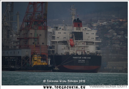
Vessel GRAND STAR IMO: 9593775, MMSI: 352001837 Bulk Carrier
UTC, -32.22263, -51.84586, course: 190, speed: 0.1
UTC, -32.22266, -51.84638, course: 181, speed: 0.2
2026-03-24 21:45:23 UTC, -32.22258, -51.84629, course: -1, speed: 0.3
Live Vessel GRAND STAR Analytics (details, animations, etc.)
Live AIS position: UTC. 16 nm SE of Rio Grande), updated 2026-03-24 21:45:23 UTC.Find the position of the vessel GRAND STAR on the map. The latter are known coordinates and path.
marine traffic ship tracker show on live map
The current position of vessel GRAND STAR is -32.22258 lat / -51.84629 lng. Updated: 2026-03-24 21:45:23 UTCCurrently sailing under the flag of Panama
GRAND STAR built in 2013 year
Deadweight:
81602 tDetails:
Last coordinates of the vessel:
UTC, -32.22273, -51.84535, course: 201, speed: 0.4UTC, -32.22263, -51.84586, course: 190, speed: 0.1
UTC, -32.22266, -51.84638, course: 181, speed: 0.2
2026-03-24 21:45:23 UTC, -32.22258, -51.84629, course: -1, speed: 0.3