 vesseltracker.com
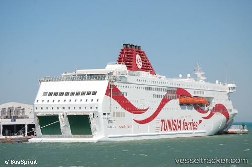
Vessel Tanit IMO: 9598579, MMSI: 672748000 Passenger Ro Ro Cargo Ship
Live AIS position:
UTC. Near Marseille),
updated 2026-01-06 13:22:56 UTC.
Find the position of the vessel Tanit on the map. The latter are known coordinates and path.
marine traffic ship tracker show on live map
The current position of vessel Tanit is 43.33837 lat / 5.34407 lng. Updated: 2026-01-06 13:22:56 UTCDetails:
Last coordinates of the vessel:
2026-01-06 13:22:56 UTC, 43.33837, 5.34407, course: 329, speed: 0