 Pacific West
Current Status
Where is the vessel?
Pacific West is currently in 259 nm E of Diego Garcia, based on AIS data received about 16h ago.
Latest AIS update:
Current position: 8.46135° S, 76.65694° E (259 nm E of Diego Garcia)
Average speed (last 7 days): Loading…
Average speed (last 30 days): Loading…
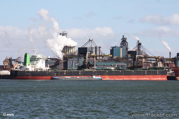
Vessel profile: Pacific West is a Bulk Carrier with dimensions 292m x 45m.
This page combines live AIS, route history, probable destination signals, nearby traffic, and port activity for practical vessel monitoring.
The current position of vessel Pacific West is -8.46135 lat / 76.65694 lng. Updated: 2026-05-20 18:00:22 UTCNearest reference points:
- 284 nm E of Diego Garcia
- 208 nm E of Diego Garcia
- Open sea, approx. 400 nm off the nearest listed port
Currently sailing under the flag of Marshall Is ![]()
Details:
Live Vessel Pacific West Analytics (details, animations, etc.)
Recent AIS points (UTC):
2026-05-20 13:31:19 UTC · -8.92831, 76.05663 · SOG 10 kn · COG 51°2026-05-20 15:34:30 UTC · -8.71377, 76.32805 · SOG 9.9 kn · COG 50°
2026-05-20 16:43:31 UTC · -8.59968, 76.48500 · SOG 10.3 kn · COG 55°
2026-05-20 18:00:22 UTC · -8.46135, 76.65694 · SOG 10.1 kn · COG 51°