 vesseltracker.com
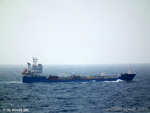
Vessel Amber Ii IMO: 9604031, MMSI: 538006182 Offshore Tug Supply Ship
UTC, 25.56124, 57.45986, course: -1, speed: 0
UTC, 25.56124, 57.45986, course: -1, speed: 0
2026-03-22 22:46:59 UTC, 25.56124, 57.45986, course: -1, speed: 0
Live Vessel Amber Ii Analytics (details, animations, etc.)
Live AIS position: UTC. 17 nm W of JASK), updated 2026-03-22 22:46:59 UTC.Find the position of the vessel Amber Ii on the map. The latter are known coordinates and path.
marine traffic ship tracker show on live map
The current position of vessel Amber Ii is 25.56124 lat / 57.45986 lng. Updated: 2026-03-22 22:46:59 UTCCurrently sailing under the flag of Marshall Is
Details:
Last coordinates of the vessel:
UTC, 25.56124, 57.45986, course: -1, speed: 0UTC, 25.56124, 57.45986, course: -1, speed: 0
UTC, 25.56124, 57.45986, course: -1, speed: 0
2026-03-22 22:46:59 UTC, 25.56124, 57.45986, course: -1, speed: 0