 vesseltracker.com
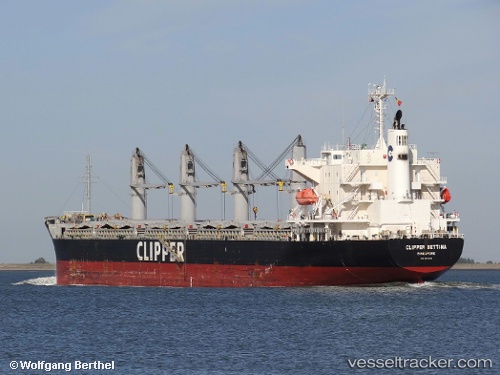
Vessel AGIA FILOTHEI IMO: 9605102, MMSI: 538009866 Bulk Carrier
UTC, 33.60276, -7.60741, course: 333, speed: 0
UTC, 33.60274, -7.60743, course: -1, speed: 0
2026-02-26 07:57:50 UTC, 33.60278, -7.60744, course: -1, speed: 0
Live AIS position:
UTC. Near Casablanca),
updated 2026-02-26 07:57:50 UTC.
Find the position of the vessel AGIA FILOTHEI on the map. The latter are known coordinates and path.
marine traffic ship tracker show on live map
The current position of vessel AGIA FILOTHEI is 33.60278 lat / -7.60744 lng. Updated: 2026-02-26 07:57:50 UTCCurrently sailing under the flag of Marshall Islands
AGIA FILOTHEI built in 2012 year
Deadweight:
38221 tDetails:
Last coordinates of the vessel:
UTC, 33.60273, -7.60744, course: 333, speed: 0UTC, 33.60276, -7.60741, course: 333, speed: 0
UTC, 33.60274, -7.60743, course: -1, speed: 0
2026-02-26 07:57:50 UTC, 33.60278, -7.60744, course: -1, speed: 0