 vesseltracker.com
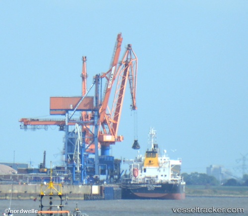
Vessel CETUS TIGER IMO: 9606003, MMSI: 538010764 Bulk Carrier
UTC, 37.37541, -176.32751, course: 84, speed: 10.8
UTC, 37.39518, -175.87395, course: 85, speed: 10.6
2026-03-24 15:49:12 UTC, 37.40129, -175.39380, course: 82, speed: 10.5
Live Vessel CETUS TIGER Analytics (details, animations, etc.)
Live AIS position: UTC. Open sea (no nearby ports in database)), updated 2026-03-24 15:49:12 UTC.Find the position of the vessel CETUS TIGER on the map. The latter are known coordinates and path.
marine traffic ship tracker show on live map
The current position of vessel CETUS TIGER is 37.40129 lat / -175.39380 lng. Updated: 2026-03-24 15:49:12 UTCCurrently sailing under the flag of Marshall Islands
Details:
Last coordinates of the vessel:
UTC, 37.35309, -176.71622, course: 85, speed: 10.3UTC, 37.37541, -176.32751, course: 84, speed: 10.8
UTC, 37.39518, -175.87395, course: 85, speed: 10.6
2026-03-24 15:49:12 UTC, 37.40129, -175.39380, course: 82, speed: 10.5