 vesseltracker.com
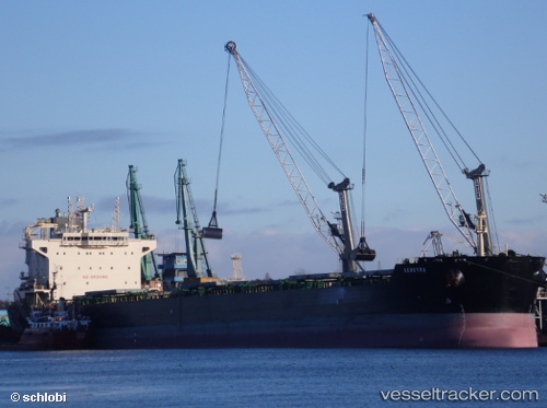
Vessel Kerkyra IMO: 9607162, MMSI: 636017107 Bulk Carrier
UTC, -19.78498, -38.42916, course: 20, speed: 12.7
UTC, -19.38861, -38.30968, course: 15, speed: 12.9
2026-03-24 10:19:33 UTC, -18.97160, -38.17988, course: 20, speed: 12.6
Live Vessel Kerkyra Analytics (details, animations, etc.)
Live AIS position: UTC. 91 nm E of Conceicao da Barra), updated 2026-03-24 10:19:33 UTC.Find the position of the vessel Kerkyra on the map. The latter are known coordinates and path.
marine traffic ship tracker show on live map
The current position of vessel Kerkyra is -18.97160 lat / -38.17988 lng. Updated: 2026-03-24 10:19:33 UTCCurrently sailing under the flag of Liberia
Kerkyra built in 2012 year
Deadweight:
81375 tDetails:
Last coordinates of the vessel:
UTC, -20.27326, -38.59043, course: 17, speed: 13UTC, -19.78498, -38.42916, course: 20, speed: 12.7
UTC, -19.38861, -38.30968, course: 15, speed: 12.9
2026-03-24 10:19:33 UTC, -18.97160, -38.17988, course: 20, speed: 12.6