 vesseltracker.com
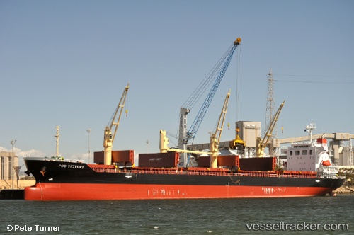
Vessel NANAMI HOPE IMO: 9609299, MMSI: 636025770 Bulk Carrier
UTC, 61.10884, 7.43880, course: 134, speed: 0.2
UTC, 61.10907, 7.44283, course: 230, speed: 0.1
2026-03-19 09:32:29 UTC, 61.10865, 7.44367, course: 248, speed: 0
Live Vessel NANAMI HOPE Analytics (details, animations, etc.)
Live AIS position: UTC. Near Lærdal), updated 2026-03-19 09:32:29 UTC.Find the position of the vessel NANAMI HOPE on the map. The latter are known coordinates and path.
marine traffic ship tracker show on live map
The current position of vessel NANAMI HOPE is 61.10865 lat / 7.44367 lng. Updated: 2026-03-19 09:32:29 UTCCurrently sailing under the flag of Liberia
Details:
Last coordinates of the vessel:
UTC, 61.10937, 7.44070, course: 189, speed: 0.2UTC, 61.10884, 7.43880, course: 134, speed: 0.2
UTC, 61.10907, 7.44283, course: 230, speed: 0.1
2026-03-19 09:32:29 UTC, 61.10865, 7.44367, course: 248, speed: 0