 vesseltracker.com
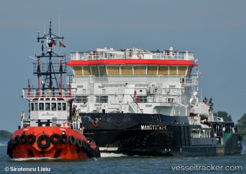
Vessel Mangystau 5 IMO: 9618410, MMSI: 436000176 Tug
UTC, 44.55691, 50.25331, course: 219, speed: 0
2026-02-11 11:17:49 UTC, 44.55691, 50.25331, course: 219, speed: 0
Live AIS position:
UTC. Near Bautino),
updated 2026-02-11 11:17:49 UTC.
Find the position of the vessel Mangystau 5 on the map. The latter are known coordinates and path.
marine traffic ship tracker show on live map
The current position of vessel Mangystau 5 is 44.55691 lat / 50.25331 lng. Updated: 2026-02-11 11:17:49 UTCDetails:
Last coordinates of the vessel:
UTC, 44.55691, 50.25331, course: 219, speed: 0UTC, 44.55691, 50.25331, course: 219, speed: 0
2026-02-11 11:17:49 UTC, 44.55691, 50.25331, course: 219, speed: 0