 vesseltracker.com
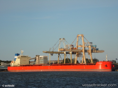
W Smash
Current StatusWhere is the vessel?
W Smash is currently in 95 nm SE of Lenard Harbour, based on AIS data received less than 1h ago.
Latest AIS update:
Current position: 53.89717° N, 160.67329° W (95 nm SE of Lenard Harbour)
Average speed (last 7 days): Loading…
Average speed (last 30 days): Loading…
Vessel profile: W Smash is a Bulk Carrier with dimensions 32m x 229m.
This page combines live AIS, route history, probable destination signals, nearby traffic, and port activity for practical vessel monitoring.
The current position of vessel W Smash is 53.89717 lat / -160.67329 lng. Updated: 2026-04-18 03:38:57 UTCNearest reference points:
- Near Lenard Harbour
Details:
Live Vessel W Smash Analytics (details, animations, etc.)
Recent AIS points (UTC):
2026-04-17 22:05:34 UTC · 53.69946, -159.21692 · SOG 9.5 kn · COG 281°2026-04-17 23:40:19 UTC · 53.74833, -159.62833 · SOG 9 kn · COG -1°
2026-04-18 02:36:38 UTC · 53.85811, -160.39565 · SOG 9.5 kn · COG 287°
2026-04-18 03:38:57 UTC · 53.89717, -160.67329 · SOG 9.5 kn · COG 290°