 vesseltracker.com
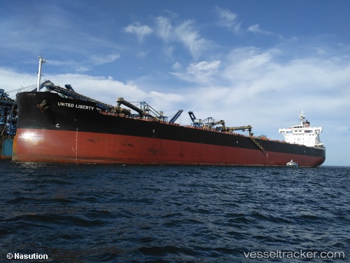
Vessel ORION GLOBE IMO: 9634854, MMSI: 538009740 Bulk Carrier
UTC, -29.41522, 39.29453, course: 248, speed: 11.1
UTC, -29.59360, 38.79991, course: 248, speed: 11.4
2026-03-24 16:20:21 UTC, -29.76295, 38.34940, course: 249, speed: 11.3
Live Vessel ORION GLOBE Analytics (details, animations, etc.)
Live AIS position: UTC. 330 nm E of Richards Bay), updated 2026-03-24 16:20:21 UTC.Find the position of the vessel ORION GLOBE on the map. The latter are known coordinates and path.
marine traffic ship tracker show on live map
The current position of vessel ORION GLOBE is -29.76295 lat / 38.34940 lng. Updated: 2026-03-24 16:20:21 UTCCurrently sailing under the flag of Marshall Islands
ORION GLOBE built in 2015 year
Deadweight:
81837 tDetails:
Last coordinates of the vessel:
UTC, -29.28367, 39.65781, course: 240, speed: 10.8UTC, -29.41522, 39.29453, course: 248, speed: 11.1
UTC, -29.59360, 38.79991, course: 248, speed: 11.4
2026-03-24 16:20:21 UTC, -29.76295, 38.34940, course: 249, speed: 11.3