 vesseltracker.com
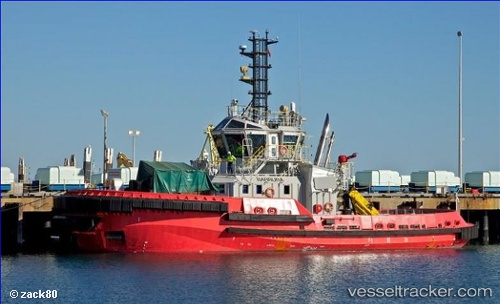
Vessel Barrura IMO: 9635913, MMSI: 503747000 Tug
UTC, -20.57845, 117.19824, course: 117, speed: 0.4
UTC, -20.59211, 117.17108, course: 183, speed: 0.1
2026-02-18 17:34:29 UTC, -20.59210, 117.17107, course: 183, speed: 0.1
Live AIS position:
UTC. Near PORT WALCOTT),
updated 2026-02-18 17:34:29 UTC.
Find the position of the vessel Barrura on the map. The latter are known coordinates and path.
marine traffic ship tracker show on live map
The current position of vessel Barrura is -20.59210 lat / 117.17107 lng. Updated: 2026-02-18 17:34:29 UTCDetails:
Last coordinates of the vessel:
UTC, -20.57818, 117.18864, course: 76, speed: 1.1UTC, -20.57845, 117.19824, course: 117, speed: 0.4
UTC, -20.59211, 117.17108, course: 183, speed: 0.1
2026-02-18 17:34:29 UTC, -20.59210, 117.17107, course: 183, speed: 0.1